


WESSON Voting District, Union County, Arkansas
About
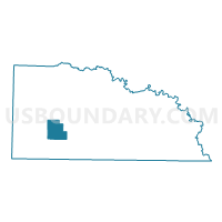
Outline

Summary
| Unique Area Identifier | 528275 |
| Name | WESSON Voting District |
| County | Union County |
| State | Arkansas |
| Area (square miles) | 21.27 |
| Land Area (square miles) | 21.27 |
| Water Area (square miles) | 0.00 |
| % of Land Area | 100.00 |
| % of Water Area | 0.00 |
| Latitude of the Internal Point | 33.12555160 |
| Longtitude of the Internal Point | -92.78528980 |
Maps


Graphs
Select a template below for downloading or customizing gragh for WESSON Voting District, Union County, Arkansas


Neighbors
Neighoring Voting District (by Name) Neighboring Voting District on the Map
- CALEDONIA Voting District, Union County, AR
- EL DORADO COUNTRY BOX 3 Voting District, Union County, AR
- EL DORADO COUNTRY BOX 4 Voting District, Union County, AR
- JUNCTION CITY COUNTRY BOX Voting District, Union County, AR
- THREE CREEKS Voting District, Union County, AR
Top 10 Neighboring County Subdivision (by Population) Neighboring County Subdivision on the Map
- El Dorado township, Union County, AR (26,219)
- Jackson township, Union County, AR (758)
- Henderson township, Union County, AR (739)
- Cornie township, Union County, AR (488)
- Wesson township, Union County, AR (394)